The MD of Bonnyville has passed the final reading of their Area Structure Plan (ASP) for lands adjacent to Hwy. 28 and Hwy. 41.
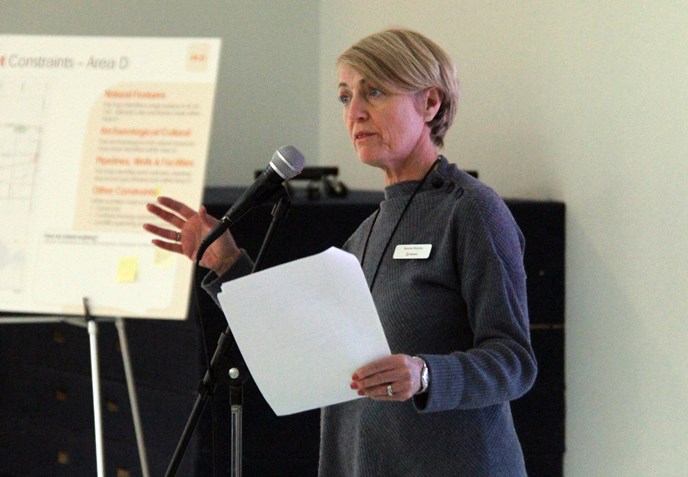
During the MD's regular council meeting on Wednesday, Oct. 10, Stantec Consulting Ltd. senior land-use planner Bonnie McInnis gave an overview of the ASP, before council passed the plan.
“A major ASP determines the land-uses for the area, provides a level of certainty for property owners of what could potentially happen on their lands in the future, but also on the lands around them,” she explained. “This is a plan that’s for a very large area within the MD… It’s a long-range plan looking 20 years out, identifies areas where future development should be considered, and areas that should remain designated for agriculture."
According to McInnis, the initial boundary for the ASP was amended, following residents' comments at the first open house in the spring.
Public consultation was one of council's main priorities while going through the ASP process, Reeve Greg Sawchuk said.
"I think people were made aware of exactly what an ASP is. I think that Stantec did a great job of presenting, and making them more informed that this isn't something that's going to change their property values overnight," he exclaimed.
The plan includes "approximately one section of land on either side of Hwy. 41 from Bonnyville to the La Corey boundary, one section on either side of Hwy. 28 to Fort Kent, and lands southeast of Hwy. 28 to the intersection of Twp. Rd. 610."
McInnis continued, "We removed the lands on the north and west sides of Hwy. 28, as these lands are essentially planned and developed out. We also removed the hamlets of Fort Kent and La Corey from the boundary, as they too have their own planning documents."
The ASP, which was initiated in February, assesses the developability of areas within the plan, determining the lands' future use.
“Development is focused between three distinct nodes… they’re primarily adjacent to the Town of Bonnyville,” McInnis detailed. “For those lands outside of these nodes… the MD’s land-use bylaw and policies of the municipal development plan and any adopted ASP in those areas remain intact."
Node one is about 574-hectares of land located between the eastern side of Hwy. 28 and the western boundary of the town, extending south to Twp. Rd 610.
Included in the node are the pre-existing Twin Creeks and Links Estates area structure plans, residential, and industrial development. The remainder of the lands are used for agricultural purposes.
The development concept for this area proposes commercial, industrial, and agricultural use.
“Development node two encompasses approximately 1,200-hectares of land extending from the town, north on Hwy. 41 to the intersection of Twp. Rd. 620. It includes lands within 1.6-kilometres east of the highway, and lands within 800-metres west of the highway. It includes the Bonnyville Airport,” explained McInnis, adding there are some existing industrial developments that are already developed, as well as the White Rose residential ASP in place.
“The development concept for node two proposes continuation of industrial and agricultural uses. There are six previously approved ASPs within this node that were taken into consideration,” she continued.
Encompassing about 211-hectares of land is node three. This area is adjacent to the northeast boundaries of Bonnyville, and extends along both sides of Hwy. 28 to Range Rd. 53.
It includes agriculture, crown lands, and portions of the Iron Horse Trail.
“The development concept for node three proposes the continuation of industrial uses on the north side of Hwy. 28, the extension of multi-lot country residential, the extension of commercial adjacent to the highway on the south side of Hwy. 28, as well as the continuation of agriculture uses,” McInnis said.
She added, “Outside of development nodes, there will be no change. Existing policies and land use bylaw requirements remain as they are now. Within development nodes, there are some changes, and you may need to undertake an ASP for the development of agriculture, additional studies may also be required, and no new multi-lot country residential will be supported in development node two."
Sawchuk said, “We’re happy with the ASP. It recognizes some of the development that has already taken place, and I think dividing up the nodes one, two, and three, represents a lot of opportunity for growth in the future, and it can be concentrated in those areas."


