LAKELAND - While the Lakeland region was spared much of the devastation caused by wildfires seen in other parts of the province and country this summer, the number of wildfires in the area over the past few months has been above average compared to previous years.
“Last year, the Lac La Biche Forest Area had 2,225 hectares [affected] throughout the season,” said Colby Lachance, information coordinator for the Lac La Biche Forest Area, whose territory includes much of the Lakeland region. “So far this year, there have been 176 wildfires burning approximately 7,928 hectares.”
When conditions are right, particularly during periods of hot and dry weather, it doesn’t take much for a wildfire to start and burn intensely, often for long periods of time. This year, the spring wildfire season began with drier than usual conditions. Lachance says this was due to an exceptionally dry autumn last year when an extreme fire hazard warning level was still in effect.
In early March, alerts were sent across the province through the Alberta Emergency Alert System, informing residents to be prepared for the upcoming wildfire season. Additionally, postcards were mailed directly to residents in forest protection areas with a reminder that permits for safe burning are required by law until the end of October.
“Radio messaging was also broadcast at the beginning of the season to remind Albertans to do their part to prevent wildfires,” Lachance continued, adding that each forest area in the province publishes regular updates that can people subscribe to or access through the Ministry of Parks website. “Public service announcements are run regularly during wildfire season on [radio] stations across the province.”
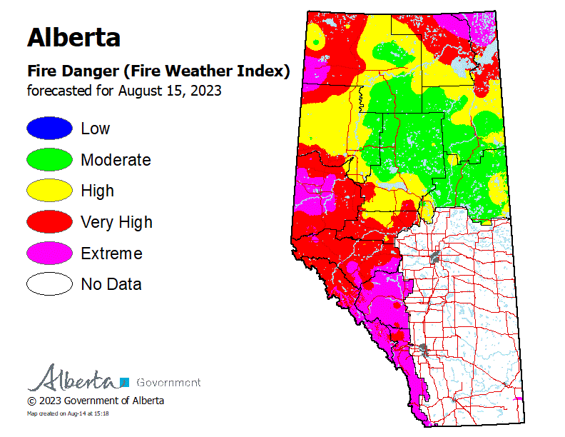
When threat levels are high, the province takes various measures to mitigate the risks of wildfires. This includes public advisories, restrictions, as well as bans. Lachance explained that when making these decisions, government officials consider several factors, especially weather conditions, and the dryness of a vegetation.
“Whenever people are spending time in forested areas, the potential for wildfires increases,” she stated. “If a forest protection area experiences multiple days of significant rainfall, fire bans can either be removed or reduced to a fire restriction, or even a mere advisory, if appropriate.”
Once they are put into place, fire bans and restrictions can last anywhere from a few weeks to a couple of months. In the Lac La Biche Forest Area since the start of wildfire season, a fire advisory was in place for 26 days, fire restrictions were in place for 47 days, while a fire ban was in effect for 21 days.
There are eight active wildfires in the Lac La Biche Forest Area that are classified as being under control, which means they are completely contained and will be extinguished, and no longer pose a risk to the public.
Those fires include:
-
LWF138 was detected on May 29 and is classified as under control at 4,800 ha. The wildfire is located approximately 9.2 km northeast of Winefred Lake. This wildfire is being monitored and poses no threat to communities.
-
LWF148 was detected on June 7 and is classified as under control at 2,317 ha. This wildfire is being monitored and poses no threat to communities.
-
LSZ001 is burning in Alberta and Saskatchewan in the Cold Lake Air Weapons Range and is classified as under control. The total area burned on the Alberta side is 4,900 hectares. This wildfire is being monitored and poses no threat to communities.
“Even though the Lac La Biche Forest Area does not have any out-of-control wildfires at the moment, wildfire season doesn’t end until Oct. 31,” Lachance continued. “The potential for wildfires to start if conditions are right will always be present. Therefore, everyone must to their part in preventing human-caused wildfires by properly extinguishing campfires.”
There are several out-of-control wildfires north of Fort McMurray along the border with the Northwest Territories as well as in Wood Buffalo National Park. With the Lakeland region being a significant distance away from Fort McMurray, Lachance says currently, government officials are not concerned about the prospect of the fire spreading south.
“Once a wildfire starts, immediate action is taken to prevent it from growing past its boundaries and to keep it contained. Helicopters are used during the initial attack, followed by air tankers,” she explained. “Also, fire retardant and heavy equipment such as bulldozers and excavators are deployed to keep wildfires in place. Ground crews, including indigenous firefighters, are also used.”
Information regarding wildfire risk levels can be found on the Alberta Wildfire Status App. Albertans can also obtain information at any time by calling the FYI-FIRE line at 1-866-394-3473.


